
Mapping a Run
How I (struggle to) plan routes for running while traveling

It’s Labor Day weekend in the US; and Kin and I are, like so many Americans, hitting the road.
During the pandemic, we bought an RV trailer. (The actual order: we got a dog. Then we bought a car, because we wanted to take adventures with the dog. Then we bought an RV trailer, because having a dog made finding a hotel annoying. Anyway…) I enjoy it far more than I ever could have imagined, and we made it a point to plan one road trip a month — taking a three-day weekend getaway, even if “away” was somewhere fairly close by.
That last sentence, you’ll note, is written in the past tense because since July, since moving to Manhattan, the whole recreational vehicle thing — hell, any vehicle thing — hasn’t been happening.
But this weekend, we’re heading up to Maine, where the RV has been parked since we drove it across country. We’re moving it down south, closer to us — to New Jersey, which — no offense! — is sort of what I imagine the state is really good for: storage for the stuff that doesn’t fit in the city.
Traveling for me means a couple of things: 1) where the hell are we going to eat. 2) where the hell am I going to run.
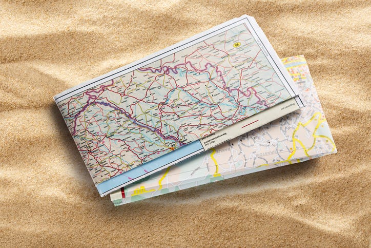
If you’re a runner, particularly a runner training for any sort of race, you know that weekends are for long runs. And while it’s not terribly hard to find a place to run that’s a mile or so in length — laps around the parking lot, worst case scenario — it gets a little trickier to head to a new place and find a good route to run 8 or more miles.